
NJSEI Australia
Submersible Inspection Drone
Dive beyond
the unknown.
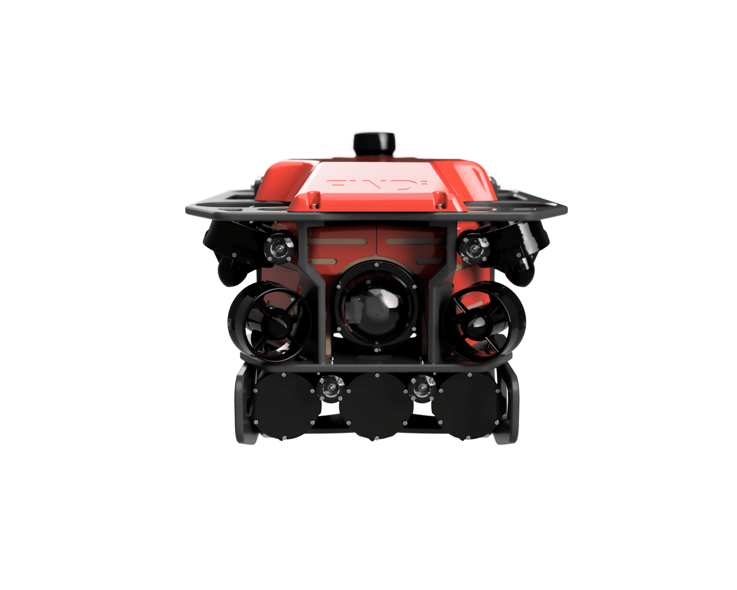
FINDi FF2 is a compact underwater drone built for confined spaces — making
underwater inspections fully recordable, traceable, and repeatable, without a diver
in the water.
Why it wins
Built for confined spaces, proven at sea
-
Manhole-ready478 mm body fits standard sub-600 mm manholes for direct ground-level deployment.
-
Long enduranceUp to 9 hours per deployment at a 2.1 m/s (4-knot) top speed — stable in flowing water.
-
Holds position without GPSAn onboard acoustic Doppler sensor (DVL) gives station-holding and inertial navigation in confined spaces.
-
Data-driven, not just footagePosition, trajectory, annotations, and drawings stay linked from inspection through to the final report.
Where it works
Confined spaces, pipelines, and marine
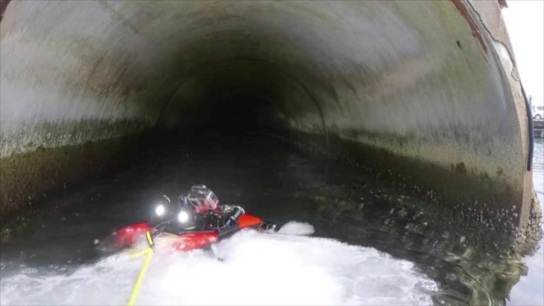
Designed and tested in FINDi’s own underground test pool in Japan, the FF2 covers
liquid-phase pipelines, tanks, and culverts as readily as open marine work —
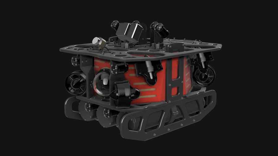
an upper payload deck of cameras and LED lights also handles surface structures
and hull inspections above the waterline it’s built to go under.
Tanks & confined spaces
Marine & hull surveys
Specifications
The numbers
Vehicle
| Dimensions (L×W×H) | 612 × 478 × 374 mm |
| Dry weight | ≈ 24 kg |
| Weight in water | ≈ 0 kg (neutral) |
| Max depth | 300 m |
| Max speed | 2.1 m/s (4 kn) |
| Max payload | 7 kg |
| Operating time | 3–9 h |
Tether & Imaging
| Tether length | 400 m |
| Tether diameter | 7.6 mm |
| Tether reel | Motorised, traversing |
| Cameras | 3×, 143° FOV, 1080p |
| LED lighting | 8×, 12,000 lm total |
| Colour temperature | 5,700 K |
Survey Support System
| Positioning accuracy | ± 1.01% |
| Altitude range | 0.05–50 m |
| Onboard storage | 4 TB |
| Drawing import | PDF / JPEG / PNG |
| Report export | |
| Video / log export | .mp4 / .csv |
Platform
| Devices supported | Windows, Mac, iOS, Android |
| Simultaneous connections | 1–3 devices |
| 3D trajectory & annotation view | Included |
| Replay (scrub / jump-to-note) | Included |
| Mission planning on drawings | Included |
Specifications, appearance, and accessories are under development and subject to change without prior notice.
Options
Extend the survey
Available as add-ons for specialised inspection work:
Omnidirectional sonar (Impact Subsea)
USBL positioning (Sea Trac)
Ultrasonic thickness measurement
Gripper
Multi-joint arm
Support
Backed end to end
-
Deployment trainingOn-site and online training on FF2 operation and the survey support system, plus a simulator for ongoing practice.
-
Maintenance & repairsScheduled servicing and updates to keep running costs predictable, with support for unplanned repairs.
Now demonstrating in Australia
See the FF2 in the water
Bring us a confined, submerged, or hard-to-access asset and we’ll show you what it finds — and how the data comes back.
NJSEI Australia Pty. Ltd.